Natural Monuments of Gran Canaria: A Volcanic Island's Icons
Roque Nublo, Bandama, Guayadeque and Tamadaba: where to find them
Gran Canaria is shaped by volcanoes, ravines and wind-carved rock. This guide covers the island's best-known natural monuments, from the Roque Nublo to the Caldera de Bandama, Barranco de Guayadeque and the Tamadaba pine forest, plus how to reach them from Las Palmas.
Overview
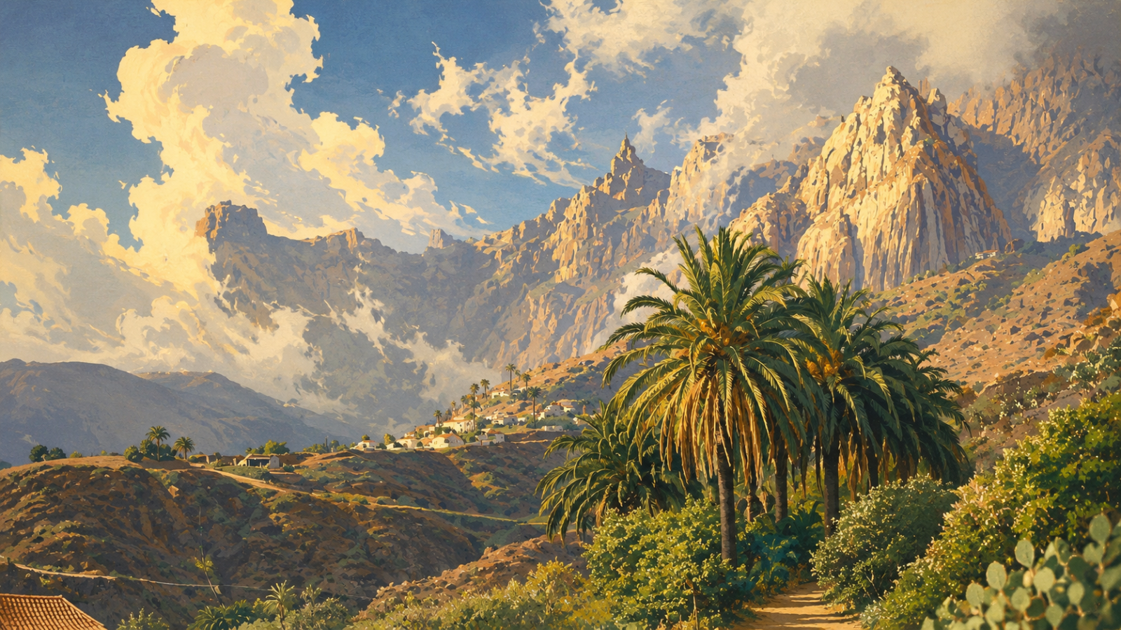
Gran Canaria wears its volcanic history openly. Extinct volcanoes, deep ravines and strange rock towers shape the centre of the island. The most famous natural monuments of Gran Canaria — from the Roque Nublo to the Caldera de Bandama and the Tamadaba pine forest — give the island its unmistakable look. This guide explains where to find these landscapes and why they matter.
Why Gran Canaria's landscape is so varied
Gran Canaria is often called a "miniature continent". On just 1,560 km², the island packs in climate zones and landscapes that elsewhere would need an entire continent to see. Volcanic activity built this variety over millions of years, forming shield volcanoes, calderas and thick layers of hardened volcanic ash. Wind and water later cut these layers into ravines, rock towers and steep cliffs. In 1910, the writer Miguel de Unamuno described the island's rugged interior as a "petrified storm" — a phrase still used today.
Many of these landscapes are officially protected. Ten sites on the island hold the Canarian "Natural Monument" status. Two UNESCO designations sit above that: the Gran Canaria Biosphere Reserve (since 2005) and the Risco Caído and the Sacred Mountains of Gran Canaria World Heritage Site (since 2019), which covers much of the island's mountainous centre.
Roque Nublo: the island's best-known landmark
No natural feature says "Gran Canaria" quite like this rock. The Roque Nublo rises about 80 metres near the village of Tejeda. It is what is left after a powerful volcanic eruption: the harder, welded rock stayed standing while the softer material around it eroded away. Together with the surrounding peaks, it forms one of the highest points on the island. The early islanders considered it a sacred site. It became a Natural Monument in 1994 and part of the World Heritage Site in 2019. The walk from the road to the base of the rock takes about 40 minutes. Two smaller rock formations, Roque del Fraile and La Rana, stand close by.
Roque Bentayga: a sacred mountain of the early islanders
A few kilometres away stands the Roque Bentayga, an almost pyramid-shaped rock with an almogarén (a pre-Hispanic ceremonial site) at its base. It was one of the last strongholds of the island's original inhabitants before the Castilian conquest, and lies within the Nublo Rural Park. A visitor centre on the GC-671 road explains the history and offers wide views over the surrounding valleys.
Caldera and Pico de Bandama: the island's youngest volcano
About ten kilometres from Las Palmas lies the clearest evidence of recent volcanic activity on Gran Canaria. The crater measures over 1,000 metres across and around 200 metres deep, with a walking path of about three kilometres around its rim. The eruption that formed it took place around 2,000 years ago, making it the most recent on the island. From the summit, Pico de Bandama (about 569 m), the view stretches across the north-east of the island to the capital. The name comes from Daniel Van Damme, a Flemish merchant who grew wine inside the crater in the 16th century. Caves used by the early islanders can still be found inside. Bandama holds Natural Monument status and lies within the Tafira landscape protection area.
Barranco de Guayadeque: the ravine of the cave dwellers
Between the towns of Agüimes and Ingenio runs one of the most striking ravines in the Canary Islands, stretching from the highlands down to the coast. Guayadeque holds one of the highest concentrations of archaeological sites on the island: hundreds of caves once served as homes, storerooms and burial places for the early inhabitants. That tradition continues today, with inhabited cave houses, a chapel carved into the rock, and restaurants built into caves. The ravine is also home to an unusually high number of plant and animal species found nowhere else. It became a Natural Monument in 2000 (its archaeological sites were protected earlier, in 1991). Visitors who come between January and March can also see the almond trees in blossom.
Riscos de Tirajana: the rock amphitheatre of the south
Above the wide Tirajana valley rises a huge natural amphitheatre of steep walls and jagged rock peaks — also a Natural Monument. The formation shows clearly how deeply water has cut into the volcanic highlands over thousands of years.
Pinar de Tamadaba: the island's wildest forest
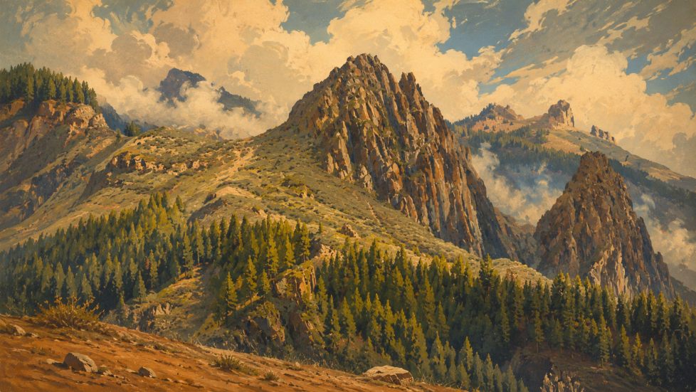
In the north-west, a natural park of around 7,500 hectares stretches from the high ridges almost down to the coast. Its core is one of the best-preserved stands of the Canary Island pine (Pinus canariensis), a fire-resistant species found only in the Canary Islands. Tamadaba is part of the World Heritage Site and ranks among the quietest, most untouched corners of Gran Canaria.
Andén Verde and Mirador del Balcón: the west coast cliffs
Between Agaete and La Aldea de San Nicolás, the coastline along the GC-200 road drops almost straight into the sea. From the Mirador del Balcón viewpoint, the view opens onto a jagged line of cliffs — one of the most striking stretches of coastline on the island.
Tejeda and the Caldera de Tejeda: the "petrified storm"
The mountain village of Tejeda sits on the rim of the huge caldera that inspired Unamuno's famous description. It is regarded as one of the most beautiful villages in Spain and makes an ideal base for visiting the Roque Nublo and Roque Bentayga. In winter, the village also celebrates its almond blossom festival.
Other protected landscapes
Beyond these main sites, several other protected areas shape the island: the young volcanic cone of Montañón Negro, the archaeologically important Barranco del Draguillo, the Caldera de los Marteles, and, in the south, the shifting sand dunes of Maspalomas, protected as a Special Nature Reserve.
Getting There: Transport Connections
Because these natural monuments are spread across the whole island, there is no single route that connects them. The best way to get there depends on which site you are visiting.
- By bus: Intercity routes are run by Global (green buses), departing from Las Palmas at the Santa Catalina bus station. The route you need depends on your destination. The orange Guaguas Municipales buses only serve the city of Las Palmas and do not reach any of these natural monuments directly.
- By car: Bandama is reached via the GC-802 and GC-822; the central area (Roque Nublo, Tejeda) via the GC-15 towards San Mateo and onward on the GC-60; Tamadaba via Artenara and the GC-216; the west coast via the GC-200. A hire car is the most practical option if you plan to visit several sites in one day.
- By bike: Only realistic for well-trained road or gravel cyclists, as the climbs into the highlands are long and steep. An e-bike makes the ride up to Bandama noticeably easier.
Nearby Attractions
The table below gives a quick overview of the natural monuments covered in this guide.
| Natural monument | Location | Known for |
|---|---|---|
| Roque Nublo | Near Tejeda, island centre | The island's iconic 80 m volcanic monolith |
| Roque Bentayga | Near Tejeda, island centre | Sacred rock of the early islanders, visitor centre |
| Caldera & Pico de Bandama | Near Santa Brígida, 10 km from Las Palmas | The island's youngest volcanic crater |
| Barranco de Guayadeque | Between Agüimes and Ingenio | Cave dwellings and cave restaurants |
| Riscos de Tirajana | Above the Tirajana valley, south | Dramatic rock amphitheatre |
| Pinar de Tamadaba | North-west Gran Canaria | Canary Island pine forest, coastal views |
| Mirador del Balcón | West coast, near La Aldea | Sheer cliffs and Atlantic views |
| Tejeda & Caldera de Tejeda | Island centre | Mountain village, almond blossom in winter |
Frequently Asked Questions
Do I need a permit to visit Roque Nublo?
Yes, a free reservation is currently required to walk to Roque Nublo between 09:00 and 17:00. Outside these hours, no reservation is needed.
Is entry to Gran Canaria's natural monuments free?
Yes, all the natural monuments covered here are free to visit. Some, such as Roque Nublo, require a free advance reservation for hiking access.
Do you need a car to visit these natural monuments?
A hire car is the most practical option, as the sites are spread across the island. Some, such as Bandama and Roque Nublo, are also reachable by public bus.
What does "Natural Monument" mean on Gran Canaria?
It is a Canarian protection category for landscapes of special geological or ecological value. Ten sites on Gran Canaria hold this status, including Roque Nublo, Bandama and Barranco de Guayadeque.
When is the best time to visit for fewer crowds?
Early morning or late afternoon is usually quietest. Between January and March, the Guayadeque and Tejeda areas also have almond blossom, which draws extra visitors at weekends.