Barrancos of Gran Canaria: The Island's Great Ravines
Cave valleys, palm groves and waterfalls – a regional overview
Barrancos do more than cut through the land. They divide Gran Canaria into valleys, set local climate and plant life, and hold thousands of years of history. This guide introduces the main ravines, from Guayadeque in the east to Azuaje in the north, with practical tips for your visit.
What Makes a Barranco
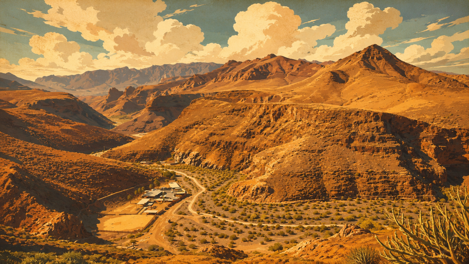
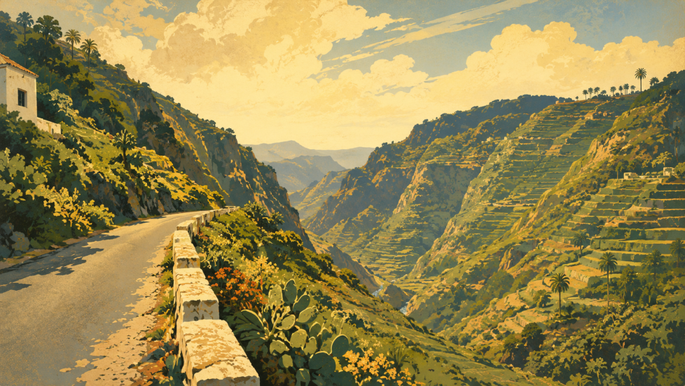
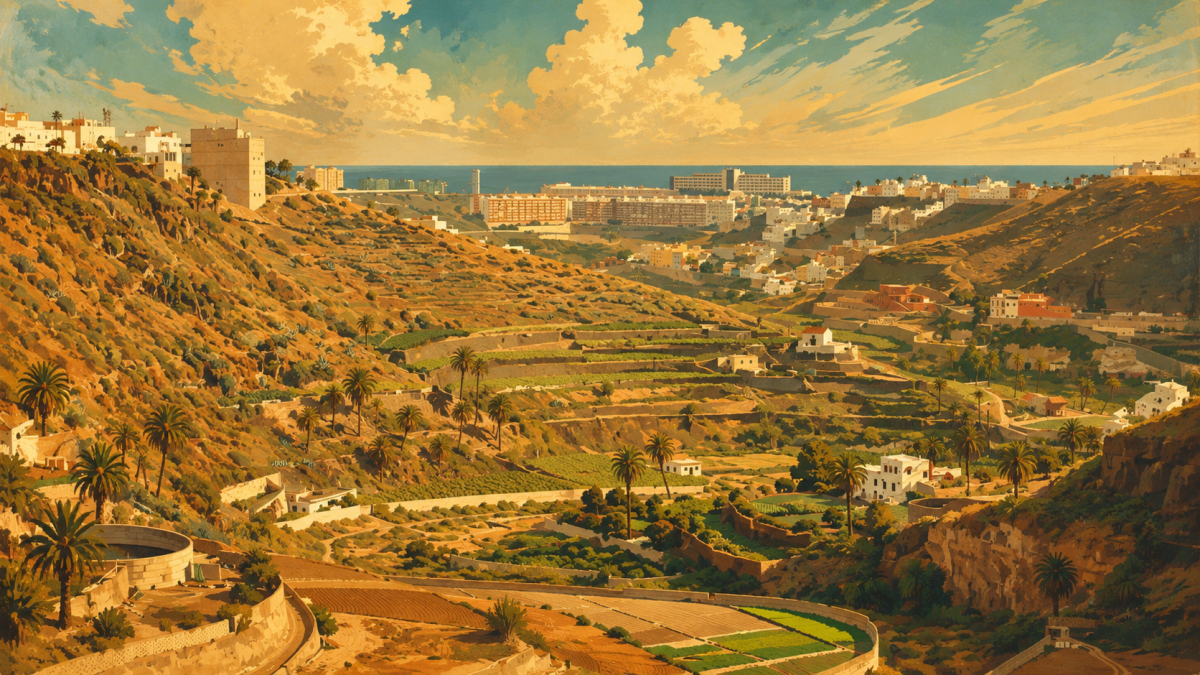
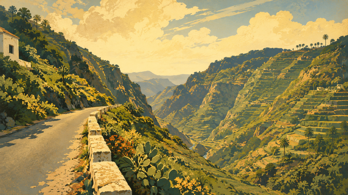
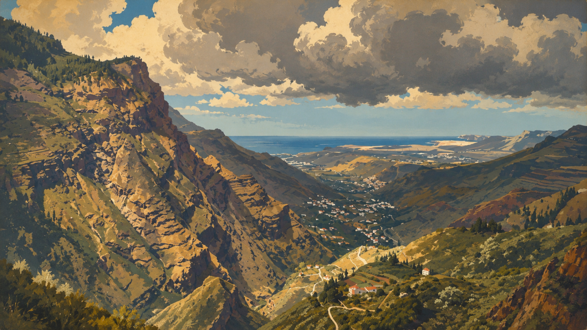
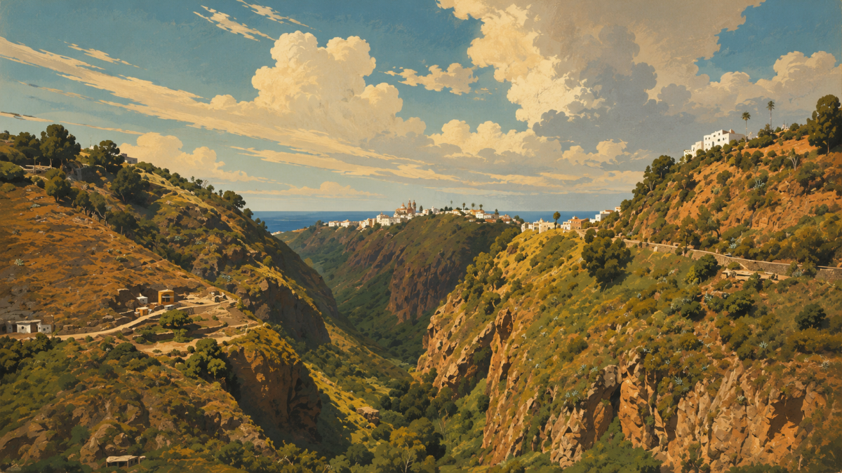
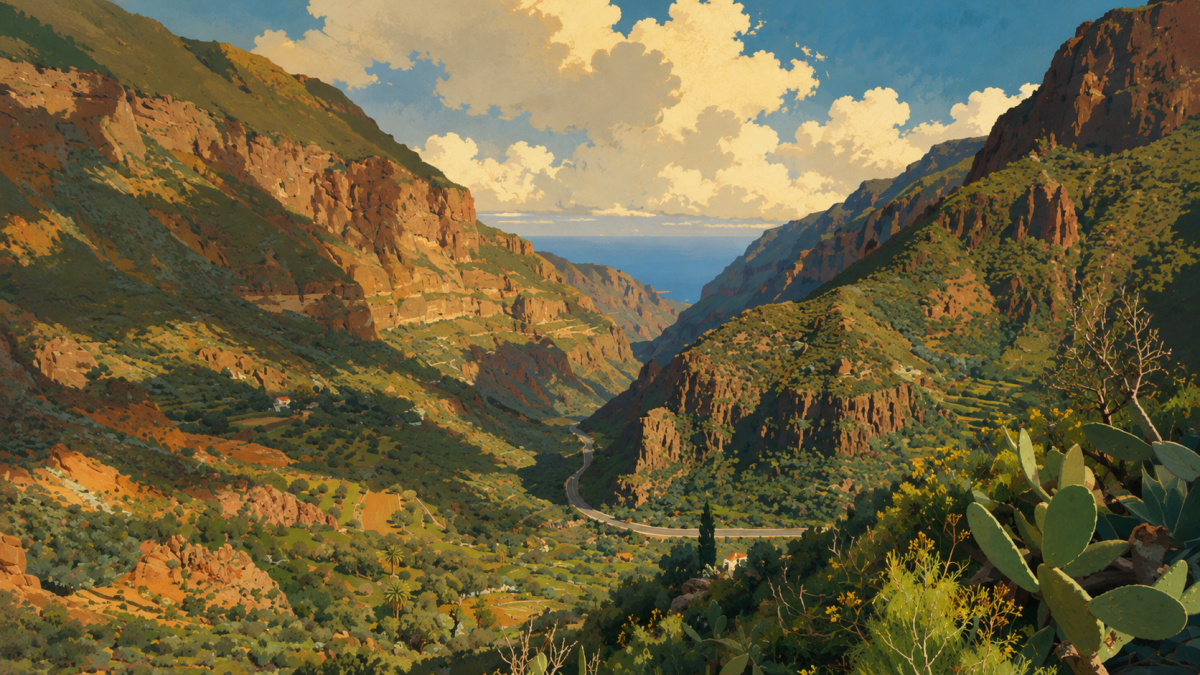
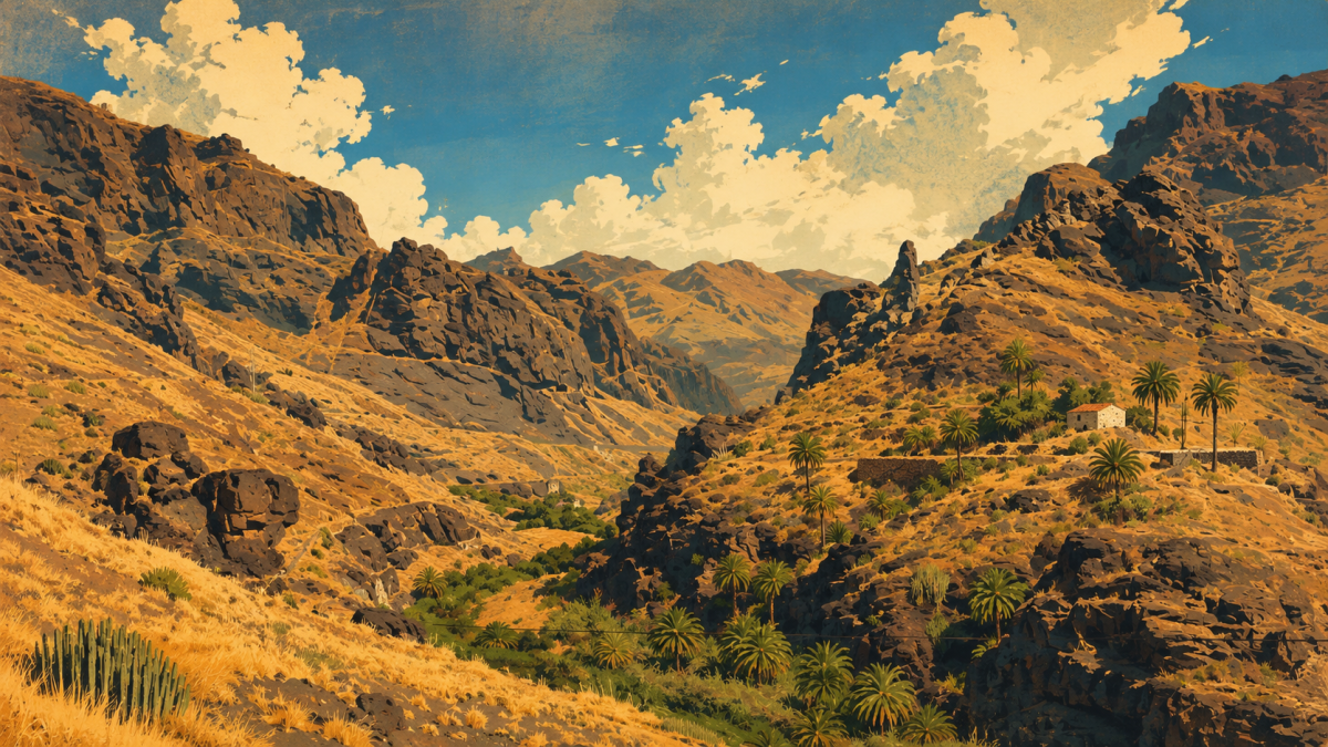
A barranco is a ravine cut into the land by water. Gran Canaria is a volcanic island shaped like a cone, and over millions of years rain has carved many steep, V-shaped valleys into it. They run from the central summit area (the Cumbre) down to the coast, like the spokes of a wheel. Barrancos decide where water flows, which plants grow and where people settle. This is why wet laurel forest and dry, almost desert-like land can sit so close together on the island.
The Northeast: Barranco Guiniguada, Valley of the Capital's Birth
The Guiniguada starts in the centre of the island at about 1,850 m. It runs for around 22 km through Vega de San Mateo and Santa Brígida to Las Palmas. About half of the island's population lives in its catchment area. The city began at its mouth in 1478, in the districts of Vegueta and Triana. In earlier times the valley probably formed the border between the old Canarian kingdoms of Gáldar and Telde.
The East: Barranco de Guayadeque and Its Cave World
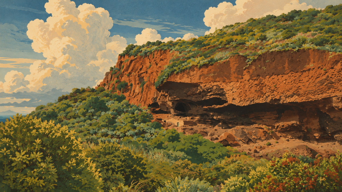
Guayadeque is one of the largest barrancos in the Canary Islands and has been a natural monument since 2000. It lies between Agüimes and Ingenio. People have dug countless caves into its soft volcanic tuff walls since pre-Hispanic times: homes, storage rooms, a rock chapel and, today, cave restaurants. It is also one of the most important archaeological sites on the island.
The South: Barranco de Fataga, the Valley of a Thousand Palms
The Barranco de Fataga runs from the dunes of Maspalomas up to the summit area. It links the coast and the mountains in one deep valley. Even though the climate is dry, a protected palm grove grows here. The Necrópolis de Arteara is the biggest burial site of the old Canarian people on the island, with more than 800 grave mounds. Further east, the Barranco de Tirajana shapes the huge erosion basin of the Riscos de Tirajana, with the Sorrueda reservoir and the Fortaleza de Ansite.
The West: Tejeda and La Aldea, the Island's Largest Ravine
The Barranco de Tejeda and Barranco de La Aldea form one system. It drains the Caldera de Tejeda, the eroded heart of the island with Roque Nublo and Roque Bentayga. It is the largest drainage basin on Gran Canaria and in the whole archipelago. The area belongs to the Parque Rural del Nublo and to the UNESCO biosphere reserve.
The North: Barranco de Azuaje and Green Agaete
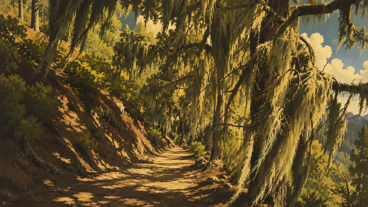
The Barranco de Azuaje, between Firgas and Moya, carries water all year. It keeps a remnant of the laurisilva, the evergreen laurel forest that once covered much of southern Europe. You will find waterfalls, iron-rich springs and the ruins of an old spa here. A few kilometres away lies the Valle de Agaete, a bowl of land surrounded by mountains with an almost tropical microclimate. It is home to the only coffee grown commercially in Europe.
Small Wonders: Barranco de las Vacas and Other Hidden Gems
Not every barranco is big. The Barranco de las Vacas near Temisas (Agüimes) is a slot canyon of coloured tuff, only about 50 m long. Its curved walls remind many visitors of Antelope Canyon in Arizona. The nearby Barranco de Balos holds the island's most important group of rock engravings. The Barranco de los Cernícalos near Telde has small waterfalls and is known as one of the most beautiful water walks on the island.
Which Barranco for Which Day Out?
- Archaeology and culture: Guayadeque (cave homes), Fataga and Arteara (burial site), Balos (rock engravings). Combine them with the Cenobio de Valerón or the Cueva Pintada in Gáldar.
- Green and water: Azuaje and Los Cernícalos. They are the wet counterpart to the dry southern valleys and close to the laurel forest of Tilos de Moya.
- Landscape and views: Tejeda, La Aldea and Tirajana. Both basins frame the Roque Nublo.
- Photo stop: Barranco de las Vacas. A short visit that fits well with the dunes of Maspalomas or the Caldera de Bandama.
Getting There / Transport Connections
By bus. Buses are called guaguas on the island. Long-distance routes are run by Global (green buses). Depending on the route, they leave from San Telmo or Santa Catalina in Las Palmas. Lines 11 and 21 from San Telmo go to Agüimes and the Barranco de Guayadeque. Line 303 goes to Tejeda via Vega de San Mateo (connection with line 305). Line 103 goes to Agaete. Inside Las Palmas, for example along the Guiniguada between Vegueta and Triana, the orange Guaguas Municipales run. Check current lines and timetables at global.es and guaguas.com.
By car. The motorways GC-1 (south and east) and GC-2 (north) lead to the coastal valleys. The GC-15 leads into the centre and up to the Cumbre. Driving times from Las Palmas are about 30 minutes to Guayadeque, about 25 minutes to Azuaje and a little over one hour to Tejeda. Parking is limited at popular places such as the Barranco de las Vacas, so arrive early.
By bike. Almost every road to a barranco has long, steep climbs. The roads towards the Cumbre are well known to road cyclists. For most other visitors, an e-bike or mountain bike is the better choice. Cycling from Las Palmas is not realistic for most casual riders.
Nearby Attractions
| Attraction | What to see | Goes well with |
|---|---|---|
| Vegueta and Triana, Las Palmas | Historic old town where the city began | Barranco Guiniguada |
| Jardín Canario | Botanical garden with native island plants | Barranco Guiniguada |
| Caldera de Bandama | Volcanic crater with views over the island | Barranco de las Vacas, Guiniguada |
| Cenobio de Valerón | Old Canarian storage caves in a cliff | Barranco de Azuaje |
| Cueva Pintada, Gáldar | Painted cave and archaeological park | Guayadeque, Fataga |
| Roque Nublo | Famous rock formation in the Caldera de Tejeda | Tejeda, La Aldea |
| Dunes of Maspalomas | Sand dunes and long beach | Fataga, Barranco de las Vacas |